František Palacký Educational Trail
The František Palacký Educational Trail is approximately 11.5 km long and leads through the traditional recreational area of Nový Jičín along the route Nový Jičín - Skalky - Svinec - Kojetín - Straník - Hostašovice - Domorazské sedlo.
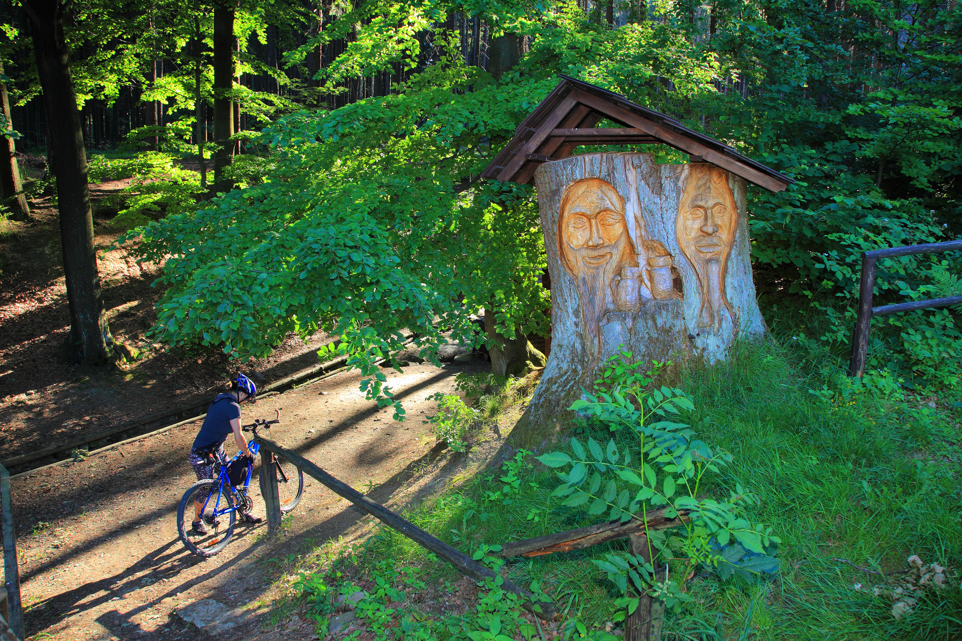
The trail passes through the territory of the Přírodní park Podbeskydí. The lowest point is Janáčkovy sady in Nový Jičín 294 m above sea level (starting point), the highest point is Svinec with 546 m above sea level. There are 23 boards at 22 stops along the trail, which draw the visitor’s attention to interesting features in the surrounding landscape, inform about the history and natural conditions through text and graphics.
| Length (km) | 11,5 |
| Number of stops | 22 + 3 stands and boards with an overview map |
| Start | NNový Jičín – Janáčkovy sady (K nemocnici street) |
| End | Hostašovice – Hodslavice-Hostašovice railway stop (Domoraz) |
| Theme/focus | natural, landscape, cultural, historical, geological and geographical (landscape values of the area with views of the surroundings) |
| Type of trail | pedestrian, partly cycling |
| Difficulty | mild to moderate (elevation Skalka – Svinec, in the opposite direction Kojetín – Svinec) |
| Tour time (approximate) | 3 hoours |
Contact
IC Nový Jičín
Masarykovo nám. 45/29
741 01 Nový Jičín
E-mail: icentrum@novy-jicin.cz
Web: http://www.icnj.cz/
Tel.: +420 556 711 888