Velký Javorník
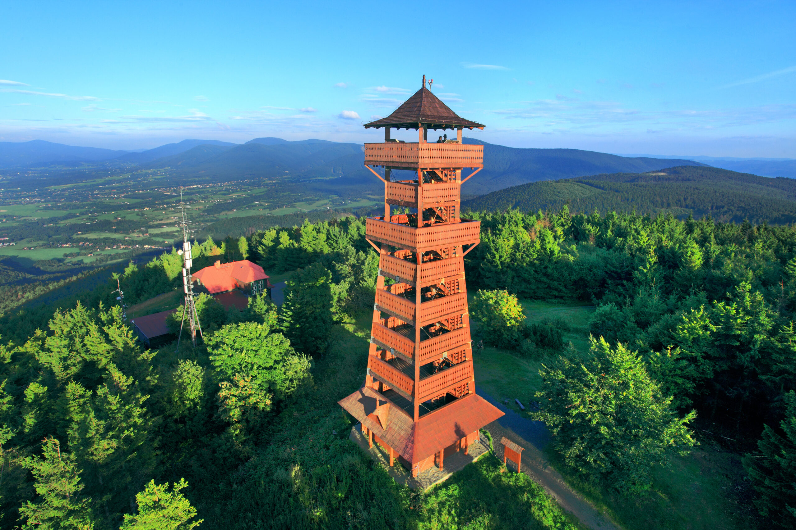
Velký Javorník (918 m) is a mountain in the foothills of the Beskydy Mountains, the highest point of the Veřovické vrchy. The mountain is a well-known hiking spot with a view of the wide surroundings, at the top there is a tourist cottage from 1935, which is open all year round (except Mondays) but does not provide accommodation. Since summer 2013 there has also been a new lookout tower at the top.
From Frenštát pod Radhoštěm to Velký Javorník
This hike leads from the centre of Frenštát pod Radhoštěm through the village of Trojanovice to the top of Velký Javorník. This hike is about 6 km long.
Route: Frenštát pod Radhoštěm > Velký Javorník
From Veřovice to Velký Javorník
This trail starts at the train station in Veřovice. Take the yellow tourist sign towards Velký Javorník. There is also a cycle path suitable for a hike with strollers. At the „Padolí“ intersection, you can turn left onto the blue trail which will take you to the top. Alternatively, you can continue along the yellow trail to the „Pod Kamenárkou“ intersection, where you turn left onto the red trail leading to the top. This hike is 5.8 km/7.7 km long.
Route: Veřovice > Veřovice hájenka > rozcestí Podolí > rozcestí Pod Kamenárkou > malý Javorník rozcestí > Velký Javorník
From sedlo Pindula to Velký Javorník
This hike starts at the parking lot of the popular Pindula saddle. It is located between Frenštát pod Radhoštěm and Rožnov pod Radhoštěm. Follow the blue trail towards the intersection at Malý Javorník. Change to a red trail and follow about 1 km to the top. The route is 4.7 km long.
Route: sedlo Pindula > malý Javorník rozcestí > Velký Javorník
Contact
Velký Javorník
742 73 Veřovice
E-mail: ic@mufrenstat.cz
Web: https://www.frenstat.info/
Tel.: +420 556 836 916


